search
Tempelhof airport map
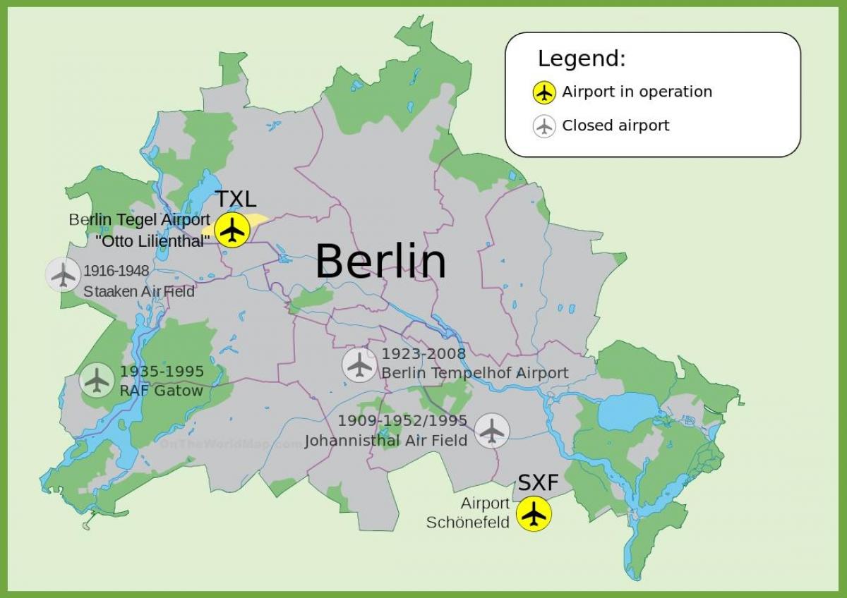
Map of tempelhof airport. Tempelhof airport map (Germany) to print. Tempelhof airport map (Germany) to download. The tempelhof airport in its current form was built between 1936 and 1941 according to the plans of Ernst Sagebiel. The biggest monument of Europe, which stands for monumental self-staging of the Nazis, has become a symbol of freedom because of the airlift of 1948/49. The physical structure of tempelhof airport is made up of an elliptical airfield and an enormous building complex (see the tempelhof airport map). It consists of a series of symmetric elements: a forecourt flanked by two office wings; the reception and check-in hall; transit areas and 1230 m long arch of the hangars.
The Tempelhof airport played a significant role in Berlin separation. During WWII, when bombs fell on Berlin, people fled to the air-raid shelters in the airport. The tempelhof airport was also converted into a combat aircraft and weapon making factory. What was once Germany busiest airport is now one of the largest public spaces in Europe. The airport was closed to air traffic in 2008 and today, visitors fascinated by the airport history fill the park, which is now named Tempelhofer Freiheit, or Tempelhofer Freedom, though everyone just calls it Tempelhofer Feld (tempelhof airport map).


