
search
Lichtenberg berlin map
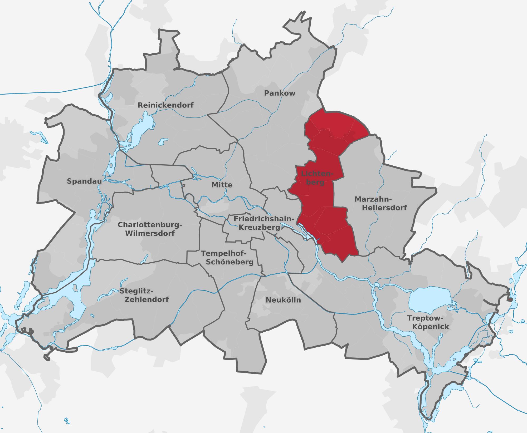
Map of lichtenberg berlin. Lichtenberg berlin map (Germany) to print. Lichtenberg berlin map (Germany) to download. Lichtenberg is booming: young families are strolling along the Rummelsburger Bucht and creative people are going wild in charming industrial buildings. The inhabitants of this former working-class neighborhood are frank and friendly, they are authentic Berliners. Lichtenberg was already "the middle of Zille" when it was founded (see lichtenberg berlin map). But it is not only the industrial history of this district that will surprise you: from the clay house in the village of Falkenberg to the magnificent Friedrichsfelde Castle, from the former Stasi complex to the modern architecture, Lichtenberg covers almost every era.
Far away from the patina of elegance and the crowds of tourists in the center of Berlin (see lichtenberg berlin map), lichtenberg mainly residential area has retained an austere appearance, as in the times of the former East Germany. To discover the Soviet-style architecture, the large communal real estate projects and the headquarters of the "Stasi", the secret state police of the former GDR, there is nothing like a walk through the Berlin Lichtenberg district. The district of Lichtenberg, which has remained virtually untouched since the fall of the Wall, is an open window on the bygone past of the former East Germany.