search
Berlin region map
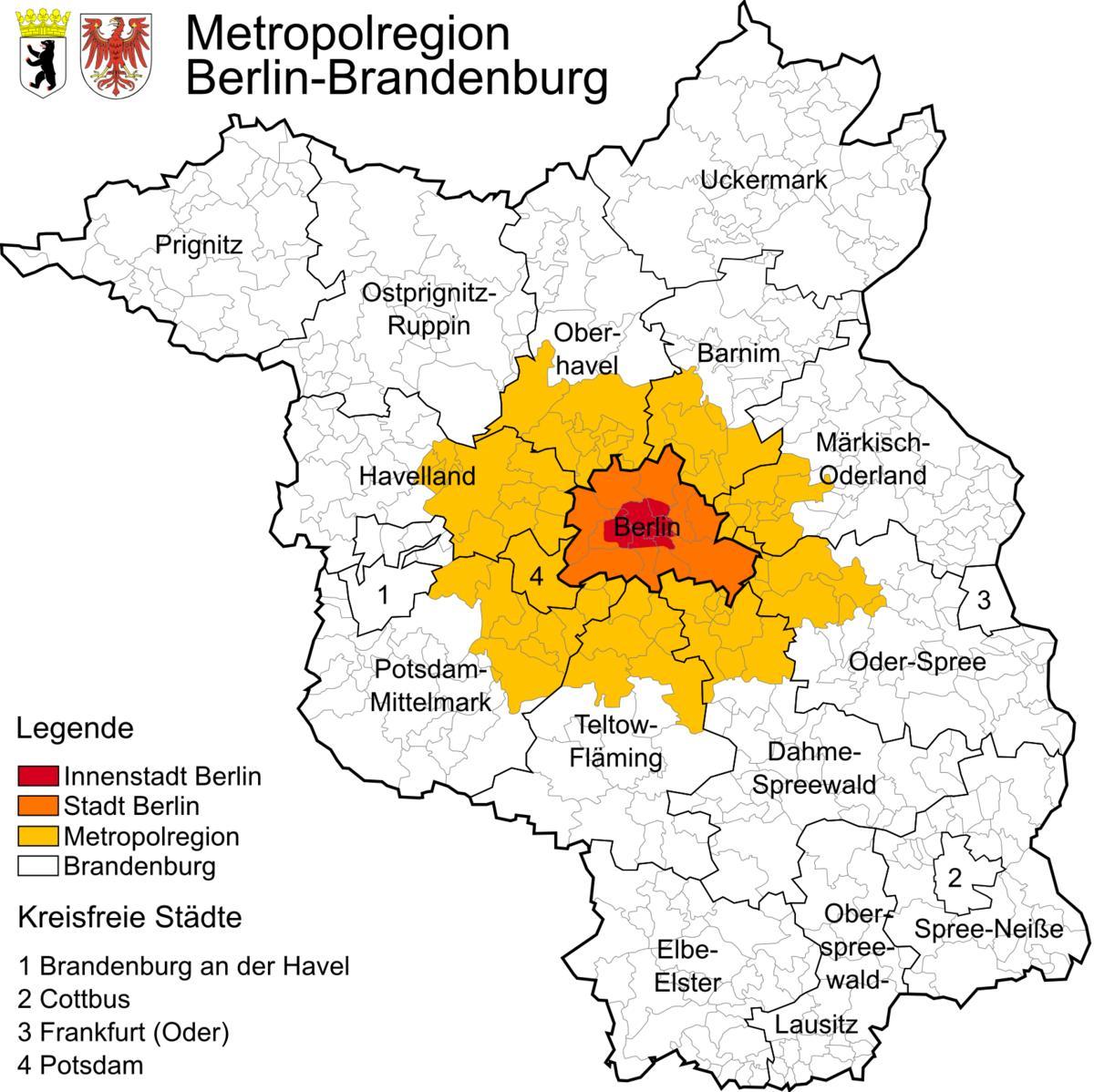
Map of berlin region. Berlin region map (Germany) to print. Berlin region map (Germany) to download. The metropolitan region of Berlin-Brandenburg (as its shown in berlin region map) is one of the eleven metropolitan regions in Germany comprising the entire federal states of Berlin and Brandenburg. The metropolitan region of Berlin-Brandenburg has almost six million inhabitants and covers an area of 30,370.36 km², or 195 inhabitants per km². There are five city districts in the region: Berlin, Potsdam, Frankfurt/Oder, Cottbus and Brandenburg/Havel; as well as fourteen boroughs.
The Berlin Metropolitan region consists of the two Federal states Brandenburg and Berlin (as its mentioned in berlin region map). Berlin Metropolitan region core area encompasses 66 municipalities around Berlin and the city itself. Delineated by the regional planning authorities to control urban growth, the so-called sphere of mutual influence (engerer Verflechtungsraum) can be regarded as peri-urban area. It embraces an area of about 5,400 km² and is populated by about one million inhabitants (2006), growing gradually with additional 75,000 inhabitants since 2000.


