search
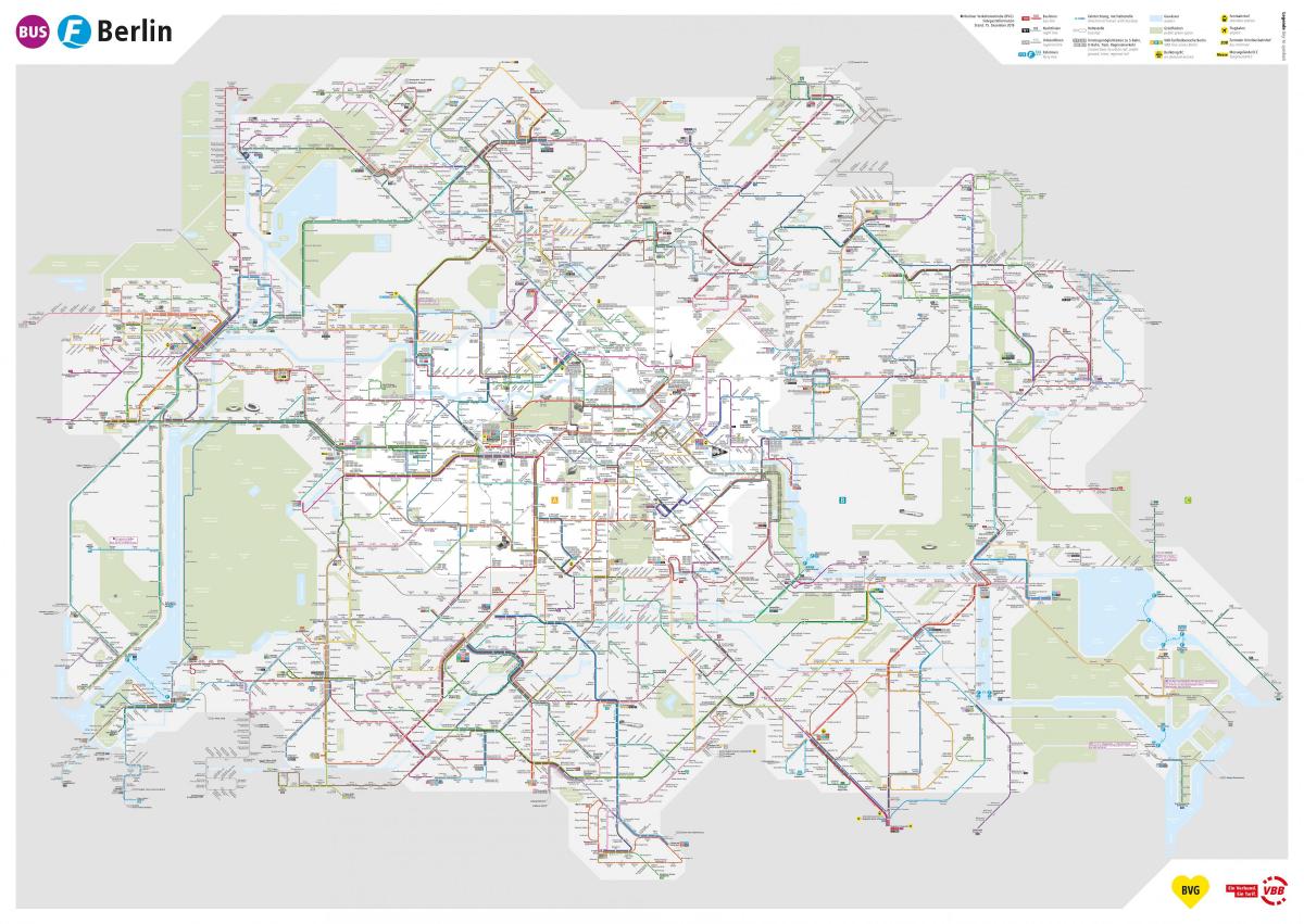
Berlin bus map
Berlin bus lines map. Berlin bus map (Germany) to print. Berlin bus map (Germany) to download. Berlin bus network serves most of berlin tourist attractions (as its shown in the berlin bus map). What started out as Germany first public transport system, with five lines where 120 horses pulled buses, has grown into an extensive network of 300 bus lines serving almost the entire city. In spite of the extension of the lines, the bus is the least recommended means of transport to visit berlin, because with the tram and the metro it is possible to get to any part of the city more easily and quickly.
The most interesting bus line for the general public in berlin bus map is number 100, which runs along the Avenue Unter den Linden, from the Brandenburg Gate to Alexanderplatz, with stops at all points of interest along the avenue of berlin. The most useful buses are the night buses. Thanks to the 45 bus lines that run between 00:30 and 04:30 approximately every 30 minutes, you can get to almost any part of berlin.
In 1847, the first horse-drawn omnibus line appeared in Berlin. Motorisation of the bus lines began in 1905. The 1,300 buses of the BVG of berlin travel 300,000 kilometres daily, almost the distance between the earth and the moon (berlin bus map). Every year, 89 million kilometres are covered by BVG buses and 350 million passengers travel on them.


