
search
Berlin road map
Street map of berlin germany. Berlin road map (Germany) to print. Berlin road map (Germany) to download. The Bundesautobahn (National Expressway) in berlin road map is part of a national superhighway network inaugurated before World War II. The berlin road system is linked with the Berliner Ring, a circle of autobahns around the city with Berlin in the centre of access spokes. Even before 1990, both Germanys had cooperated in maintaining road and rail traffic to and from Berlin.
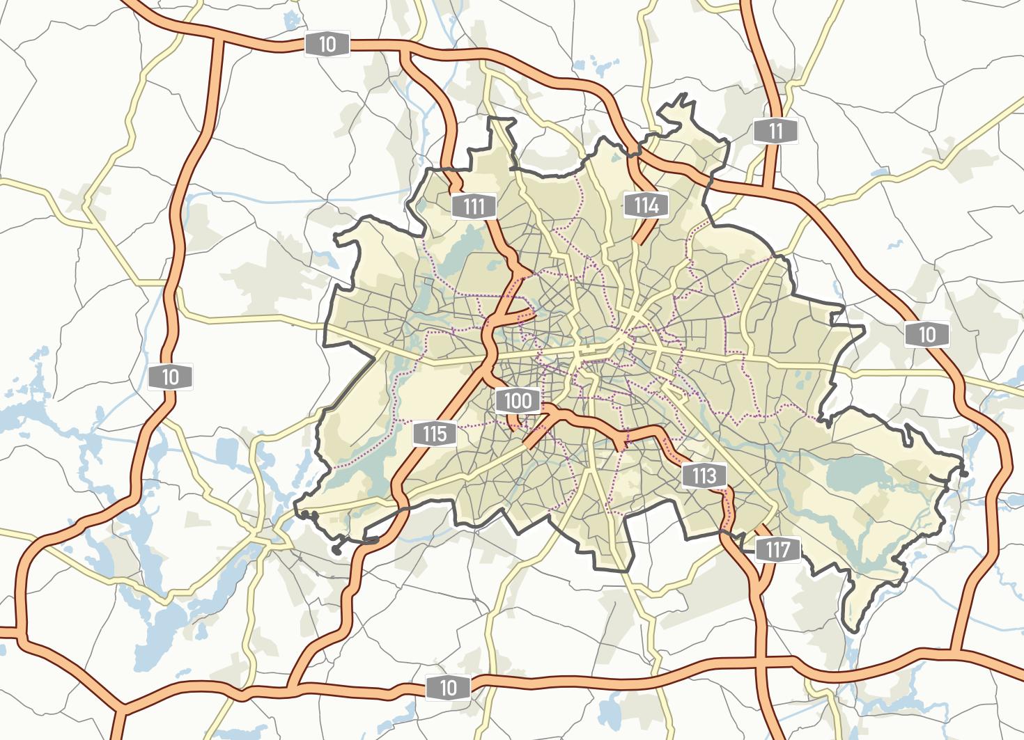
According to a study, the three busiest road sections in Germany are in Berlin (as its shown in berlin road map). Drivers in berlin roads need a lot of patience on the B96 between Lichtenrade and Kreuzberg, on the B2 between Spandau and Tiergarten, and on the entire A100 urban motorway, as calculated by traffic data provider Inrix.