
search
Berlin südkreuz map
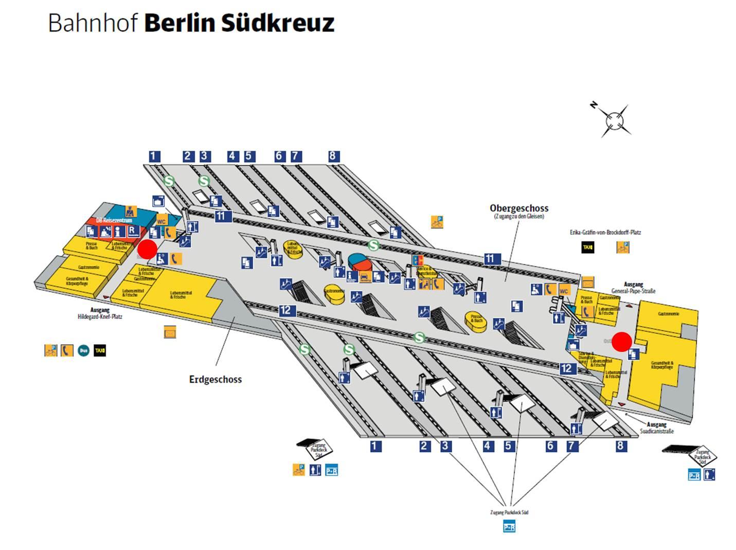
Map of berlin südkreuz. Berlin südkreuz map (Germany) to print. Berlin südkreuz map (Germany) to download. If you travel to Berlin with long-distance and regional trains, you can easily reach the extensive suburban train and bus network here. From the berlin südkreuz train station, for example, you can take the S2 and S25 trains in a north-south direction (as its shown in berlin südkreuz map). The trains S41 and S42 from the Ringbahn (Berlin inner ring road), the S45 to Schönefeld Airport as well as the S46 to Königs Wusterhausen take you to almost all southern parts of Berlin. On the square in front of the berlin südkreuz train station, take the M46, 106 and 204 buses.
In the immediate vicinity of the berlin südkreuz train station there are a few tourist attractions to discover (see berlin südkreuz map). For example, the SA-Gefängnis Papestraße (SA-Gefängnis Papestraße prison) is only a few minutes walking distance fron berlin südkreuz. You can also reach the gasometer on foot, but it is a little faster and more pleasant if you walk from a berlin südkreuz station with the Ringbahn westward to the Schöneberg War.